Charlene Cole
Sandy Creek/Lacona Historian
Historian's Corner
March 14, 2014
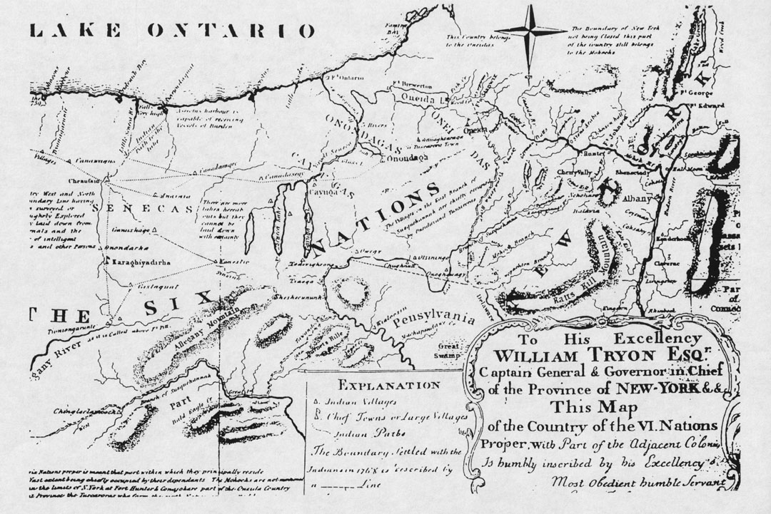
Photo: An early map of New York showing the Iroquois Nation
A little Sandy Pond history gleaned from history books: Sandy Pond or Ontario Bay or North Pond or Big Pond is one of several glacial ponds located along that portion of the eastern end of Lake Ontario lying between Selkirk and Southwick’s Beach. Sandy Pond is roughly five miles long and three miles wide with all but the northern end located in Oswego County. It is at this point the Lake and Ponds are bordered along the shore by sand dunes, which run for nearly five miles. A channel draining both North and South Ponds breaks the dunes in the middle.
The Pond is fed by several creeks located on the other shores. With only the original outlet as a drain into the lake, it must have been a very muddy, weedy body of water, truly named a pond. Wigwam Cove was the earliest name for the western shore of the Pond, most appropriate as it is thought to have been the site of an Indian Village located near the old Wigwam Hotel. This western shore and adjoining lakeshore were fishing grounds for the Onondagas.
|
|
In October 1675, Samuel De Champlain, French troops and about 300 Huron Indians marched against the Iroquois nation with the plan to subjugate them and secure their domain to the French. Champlain writes of crossing the St. Lawrence River, proceeding southward toward the enemy’s country. The Indians with him concealed their canoes in the woods near the bank. “We traveled by land about four leagues over a sandy plain, where I observed a very pleasing and fine country, watered by numerous small streams (Oswego County) and two little rivers which empty into said lake, and a number of ponds and prairies, where there was an infinite quantity of game, a great many vines and fine trees, vast numbers of chestnuts, the fruit of which was yet in the shell. It is quite small but well flavored.” (Oswego County History 1895)
|
|